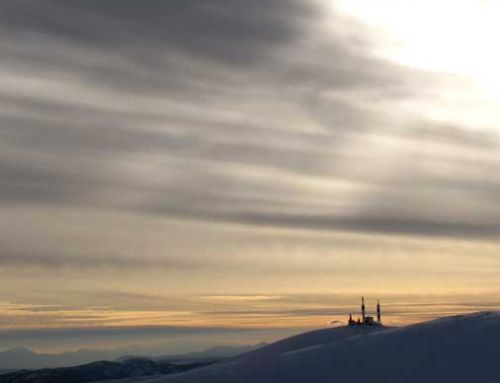
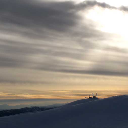
Mountain GPS Course

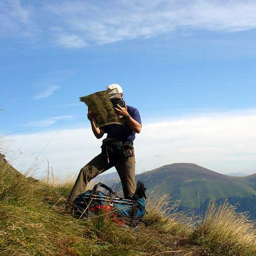
In this course we are going to learn how to get the most out of our mountain GPS receivers.
Beyond the use of tracking our route to later see the data on a computer, we will show you the enormous possibilities that even the simplest of these magnificent mountain companions offers us today.
From a correct initial configuration to more advanced practices.
We will also see and learn to use the latest mountain apps for mobile phones.
Two days that will change the way you see and use the GPS.
- 1 person: 260€
- 2 persons: 130€
- 3 to 6 persons: 90€
- Guía de Media Montaña titulado.
- Seguro RC y accidentes.
- Material técnico común.
- Asesoramiento previo a la actividad.
- Transporte.
- Comidas.
- Alojamiento.
- Material personal.
- Cualquier otra cosa no especificada en el apartado de “Incluye”.
- Máximo 6 personas por guía.
COURSE DETAILS
TECHNICAL DIFFICULTY
PHYSICAL CONDITION
JOIN US IN THIS COURSE!
Fill the form for booking your course!
Leave A Comment